Field Research
 Read Full Article: How EcoPlot Links Satellite Data to Field Research
How EcoPlot Links Satellite Data to Field Research

|
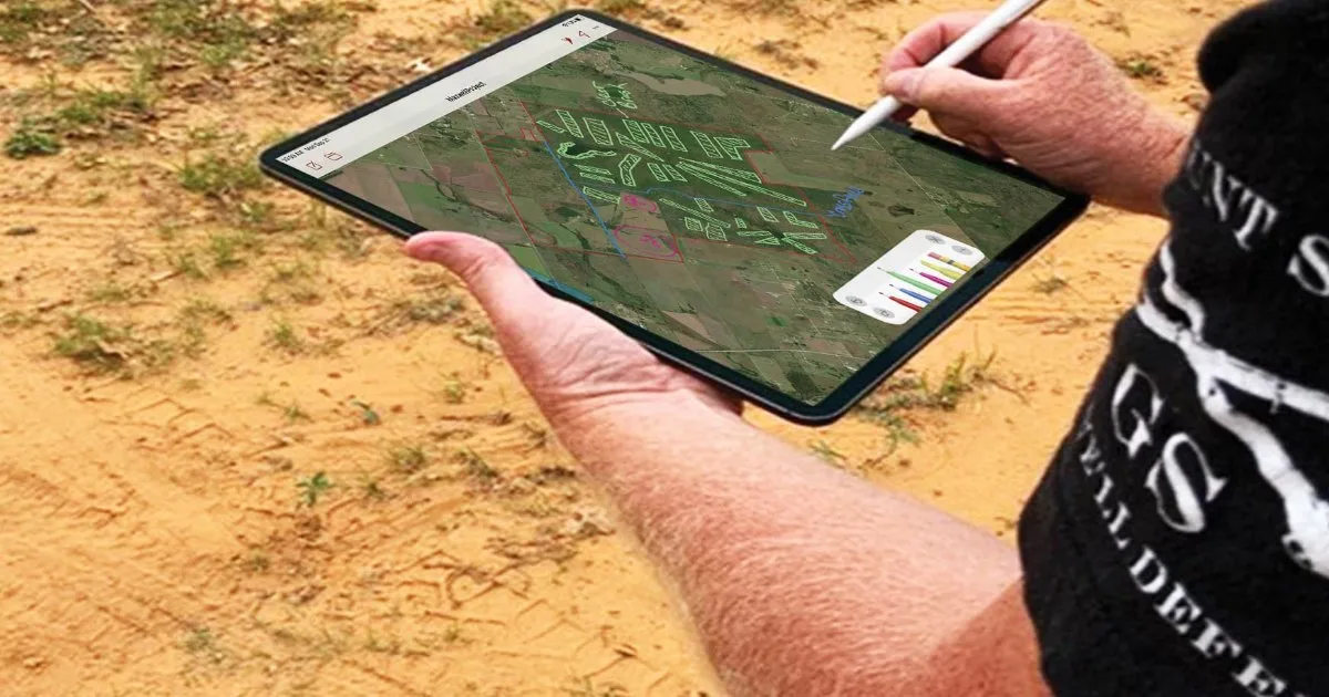
Learn how EcoPlot pairs satellite imagery with field observations so farmers, park teams, and landowners can study their land in detail.